Acreage Atlas 01
Map the access before measuring the lawn
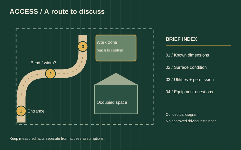
Prepare a readable route brief that separates observed access, utility questions and equipment requirements to confirm.
Read the guide ↗The HAUSE field guide
An acreage planning atlas for Alberta hydroseeding: connect rural access, water-source questions, landscape zones and a practical establishment care brief.
The three original atlas notes cover access, water and care, then landscape zones. Use them with the retained reference library to prepare a readable acreage brief.
Acreage Atlas 01
Prepare a readable route brief that separates observed access, utility questions and equipment requirements to confirm.
Read the guide ↗Acreage Atlas 02
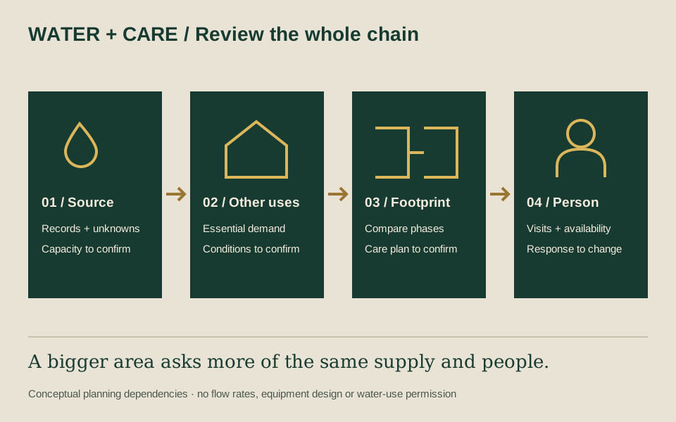
Keep water-source facts, essential household use and establishment responsibilities together before committing to a large footprint.
Read the guide ↗Acreage Atlas 03
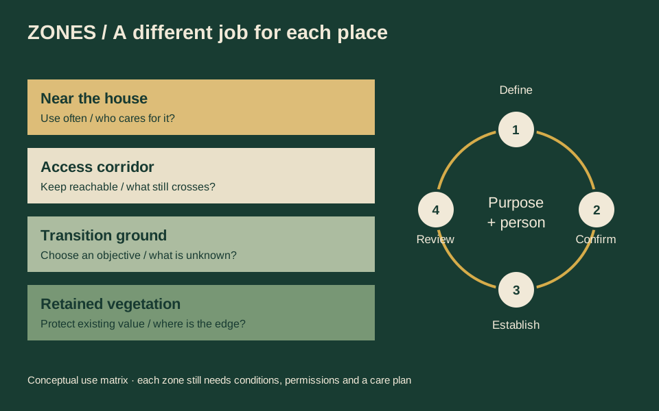
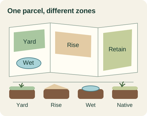
Separate landscape-use zones and realistic maintenance responsibilities before making every square metre part of one lawn.
Read the guide ↗Method & scope 01
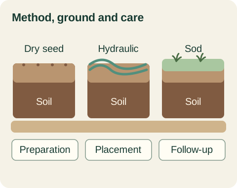
Compare methods through access, soil readiness, intended use and the care available after installation.
Read the guideSite & soil readiness 02
Build a useful site brief from land use, exposure, existing vegetation, water pathways and access.
Read the guideSeed & material specifications 03
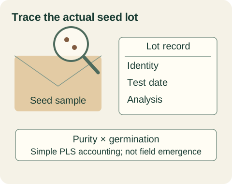
Separate product names, mixture composition, seed analysis and pure-live-seed accounting from field results.
Read the guideCalgary lawn planning 04
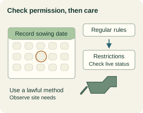
Distinguish the regular watering schedule, new-seed establishment exception and temporary restriction stages.
Read the guideCalgary lawn planning 05
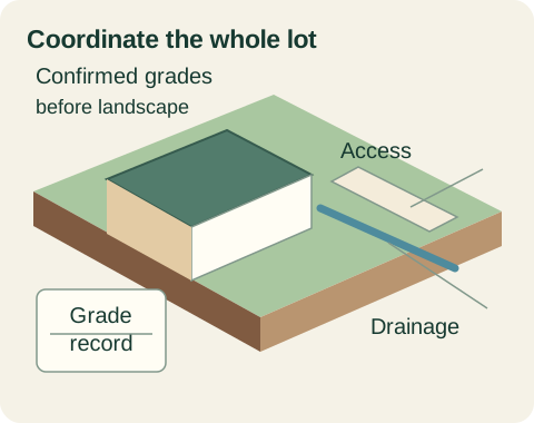
Coordinate confirmed grades, remaining construction, soil delivery, access and the homeowner handoff.
Read the guideSite & soil readiness 06
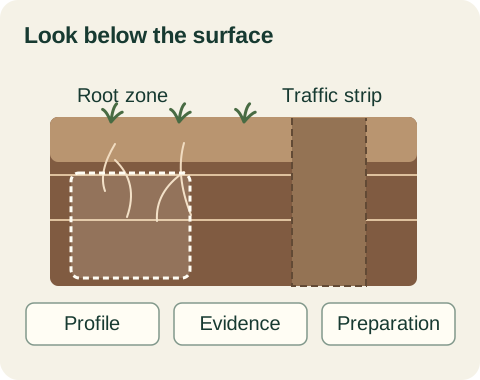
Separate soil quality, depth, compaction, seedbed condition and grade constraints in a preparation scope.
Read the guideAlberta acreage & native sites 07
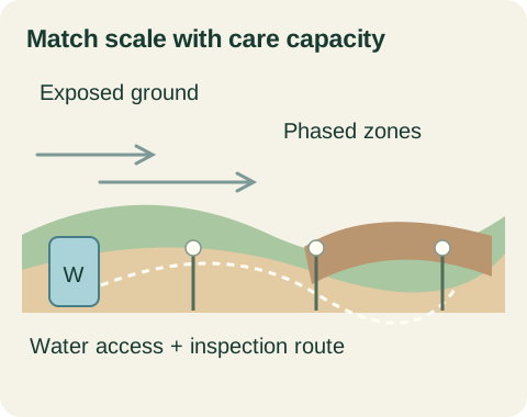
Define land use, exposure, water availability, phased boundaries and remote monitoring before treatment.
Read the guideAlberta acreage & native sites 08
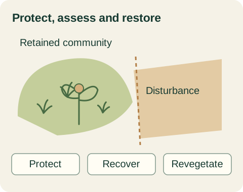
Protect existing vegetation, define the target community and review natural recovery, seed provenance and disturbance.
Read the guideErosion & drainage 09
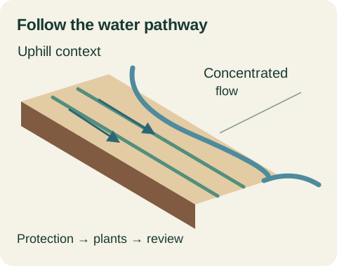
Separate surface cover, runoff control, sediment containment and inspection responsibilities on exposed ground.
Read the guideErosion & drainage 10
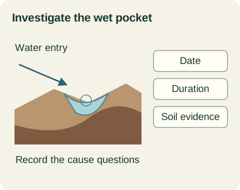
Document ponding, water pathways, soil condition and land-use constraints before selecting a remedy.
Read the guideMethod & scope 11
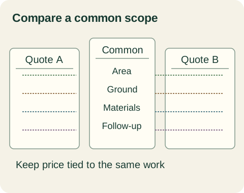
Separate ground preparation, components, area, access, establishment duties and repair terms before comparing totals.
Read the guideProject coordination 12
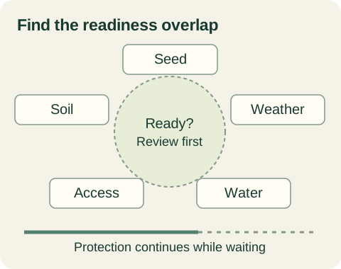
Connect seed requirements, soil readiness, current weather, water permissions and temporary protection.
Read the guidePlanning tools 13
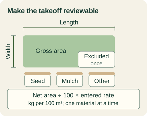
Use clear boundaries, units, approved rates and explicit allowances to build a reviewable quantity estimate.
Read the guideEstablishment & review 14
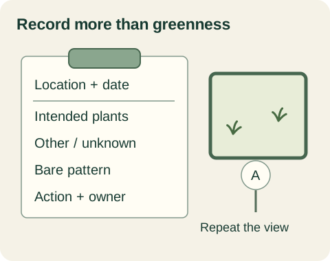
Track intended vegetation, cover patterns, bare areas and events without mistaking a planning score for acceptance.
Read the guideEstablishment & review 15
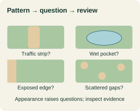
Use pattern, timing, soil, water, traffic and material records to build a cause-based review.
Read the guideCalgary project coordination 16
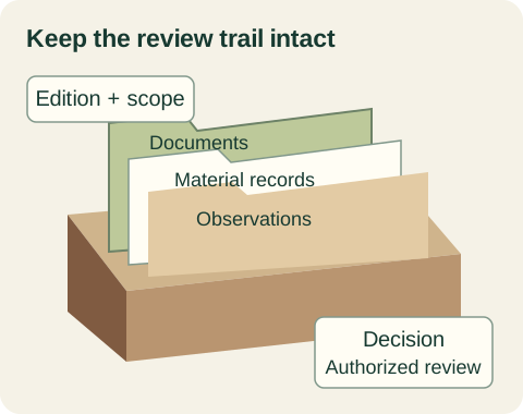
Align current project documents, material records, inspections, deviations and authorized closeout decisions.
Read the guideEstablishment & review 17
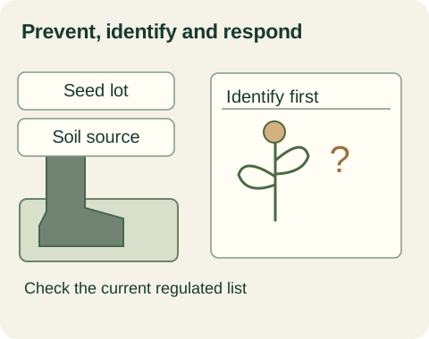
Keep seed, soil, equipment and field observations connected to current Alberta obligations and the vegetation goal.
Read the guideNo matching guides. Try a broader search or choose all topics.
A clearer next step
Tell HAUSE what you are planning, what you have observed and the decision you need help with.
Start a service request